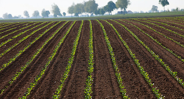
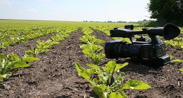
The PhenoBob is a self-navigating vehicle with a camera system for the image-based analysis of plants. While driving through a plot, the combined colour and near-infrared cameras take a series of images. The individual images are automatically compiled into a high-resolution overall picture of the plot. Plants are automatically detected and located using the recorded images.
“Using the RTK GPS coordinates of each individual plant allows the PhenoBob to relocate them in the plot, repeated measurements of the plot then tracks their leaf area over time – this applies both to beet plants and weeds,” explains Christian Hügel, Head of Seed Research Technical Centre at Strube. The automatic distinction between beet and weeds is drawn using an algorithm that has been trained with the help of artificial intelligence. In this way, the dynamics of field emergence and the development of the leaf areas in the trial plots are determined – from the moment of emergence through to the 6-leaf stage.
“In addition to the field-emergence rate and the final field emergence, we are particularly interested in the homogeneity of the leaf areas and the measurement of soil coverage. Given what has become a limited choice of herbicides, factors such as rapid soil coverage and closing of rows are becoming ever more important,” explains Dr Antje Wolff, Head of Seed Research at Strube.
The PhenoBob also measures the mortality rate after field emergence. Such information is becoming increasingly more important, as the ban on neonicotinoid treatments has meant that the emerging plants are no longer systemically protected from harmful insects. For the first time, it is now possible to distinguish between field emergence and dying plants, and to document this distinction with images. This means that the influence of new treatments on field emergence and the survival of the emerging plants can also be quantified.
The camera and data-acquisition system were developed in cooperation with the Fraunhofer EZRT [Development Center X-ray Technology]. The vehicle conveying the camera system is the commercial, autonomously navigating DINO platform, from NAÏO technologies, a French start-up.
Since the project started, 15,000 plot measurements have been carried out, with a total of approx. 1 million plant measurements. This has generated approximately 3 terabytes of image data.


